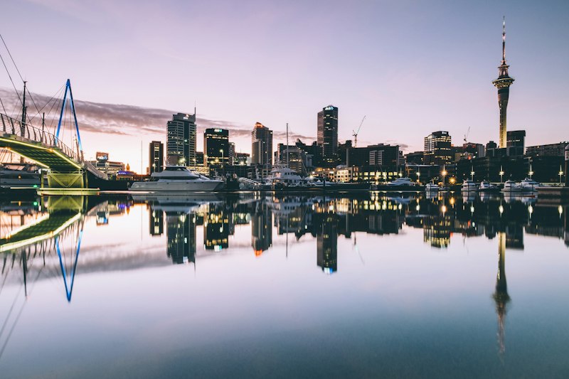
11 Local Spots in Auckland Tourists Don't Know About
11 landmarks with verified facts and stories
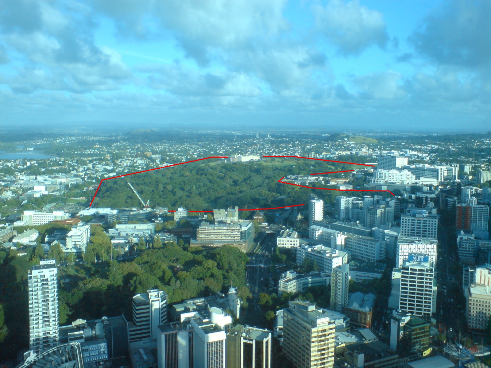
Auckland Domain
Parnell, Auckland
The Auckland Domain is the city's oldest and largest central park — 75 hectares of parkland, sports fields, winter gardens, and walking tracks laid out in the 19th century on the rim of the Pukekawa volcano cone and now the site of the War Memorial Museum.
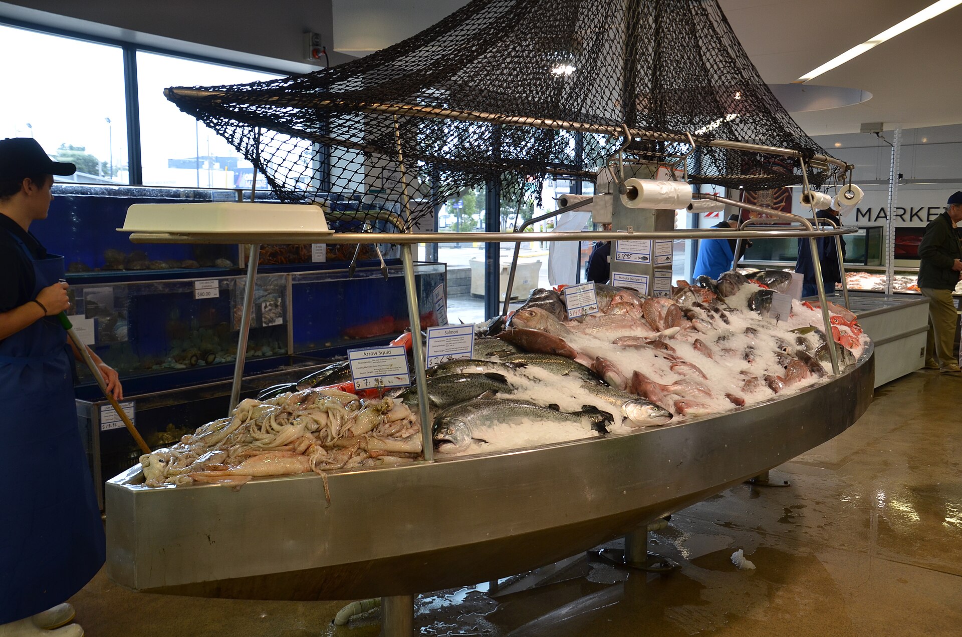
Auckland Fish Market
Jellicoe Street, Wynyard Quarter
The Auckland Fish Market is New Zealand's main seafood hub — a wholesale-plus-retail market on Jellicoe Street in Wynyard Quarter that handles an estimated 3,000 tonnes of seafood a year and whose redeveloped food hall (opened 2019) has become a destination for oyster bars, fish-and-chip stalls, and sushi trains that showcase the country's wild seafood.
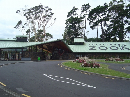
Auckland Zoo
Motions Road, Western Springs
Auckland Zoo is New Zealand's largest zoological collection — 17 hectares in Western Springs holding about 135 species, with a focus on native New Zealand fauna (kiwi, tuatara, kea) and on immersive habitat design that has won international awards.
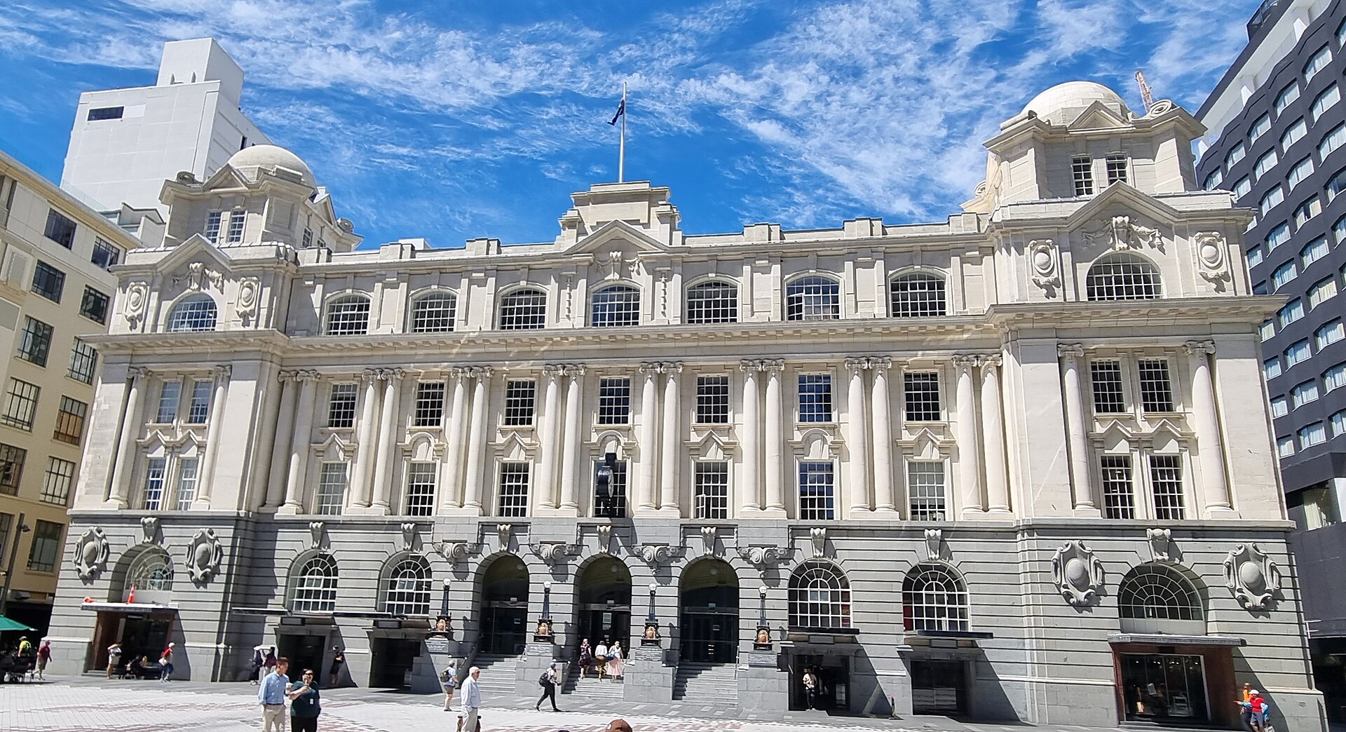
Britomart Precinct
Britomart, Auckland CBD
Britomart is Auckland's regenerated waterfront commercial district — a 2.
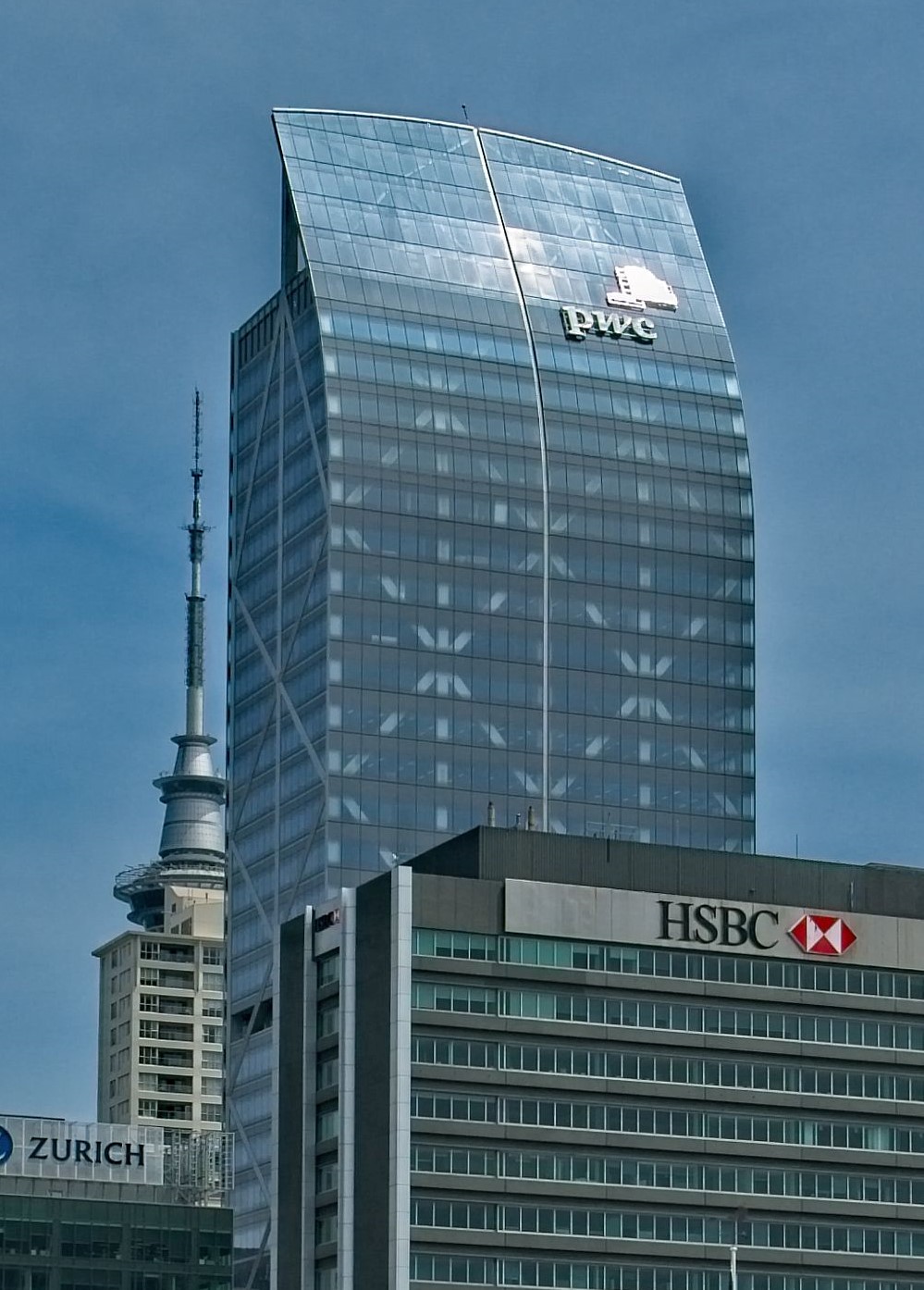
Commercial Bay & Downtown Dining
Quay Street, Auckland CBD
Commercial Bay is Auckland's newest downtown precinct — a 2020-opened retail-and-dining complex at the base of the PwC Tower on Quay Street, directly facing the waterfront, that concentrates high-end retail (Prada, Gucci, Jo Malone) with the Harbour Eats food hall (20+ operators including Cotto, Miann, Baduzzi) and the rooftop dining terraces with harbour views.
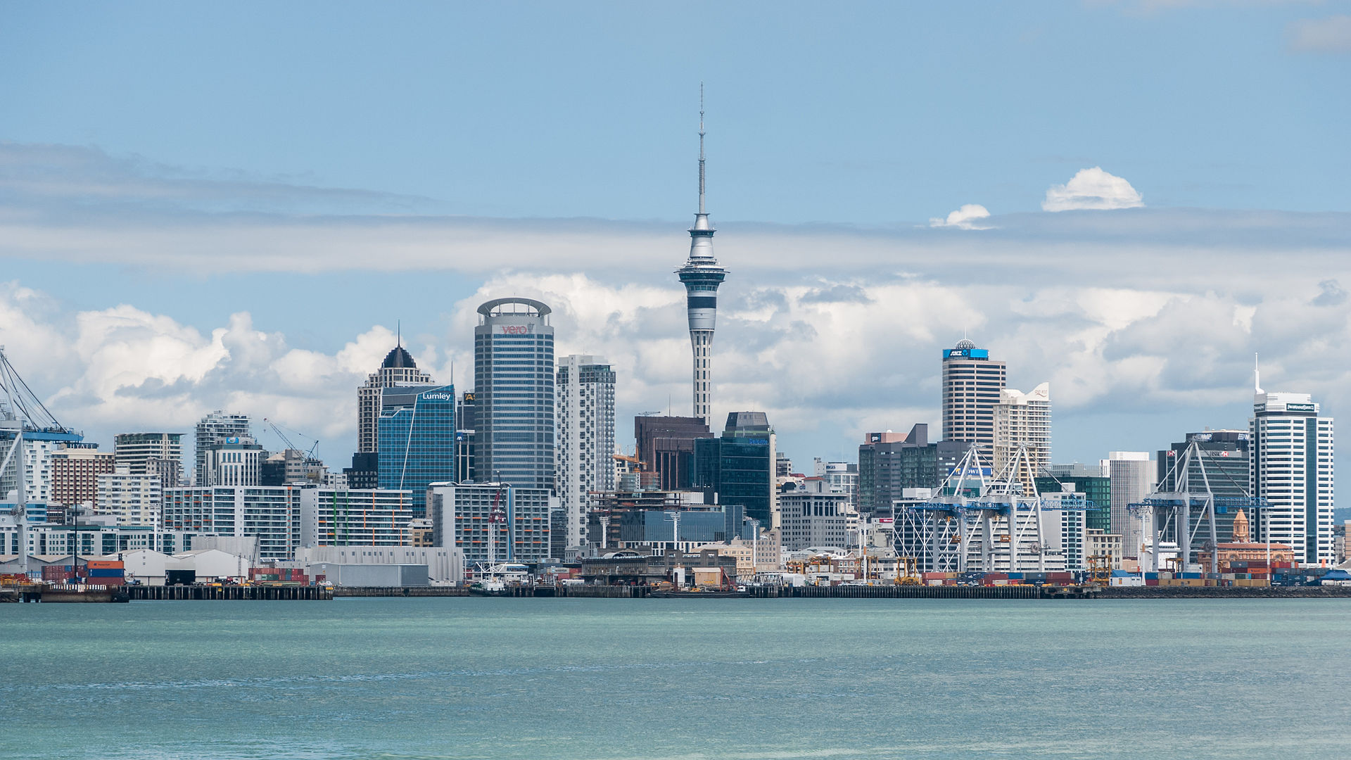
Devonport (Ferry & Walk)
Devonport, North Shore
Devonport is a Victorian seaside suburb on the North Shore — a 12-minute ferry ride from the downtown Auckland ferry terminal that functions like a weekend time capsule, preserving the 19th-century wooden villas, corner shops, and military heritage of Auckland's oldest European settlement.
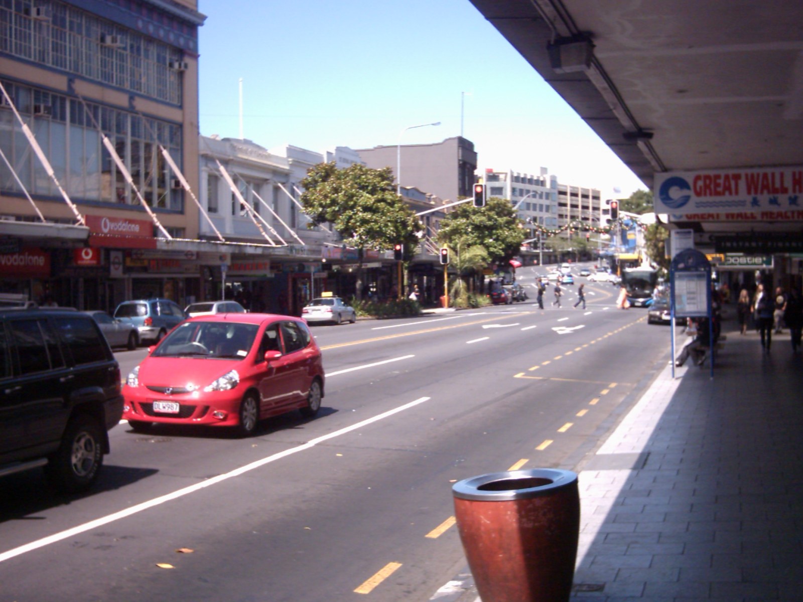
Karangahape Road (K Road)
Karangahape Road, Auckland CBD
Karangahape Road — universally known as K Road — is Auckland's alternative high street, a mile-long strip along the southern edge of the CBD that was once the city's red-light and working-class Pacific neighbourhood and has since become the centre of Auckland's queer, arts, and alternative scenes.
Mission Bay
Tamaki Drive, Mission Bay
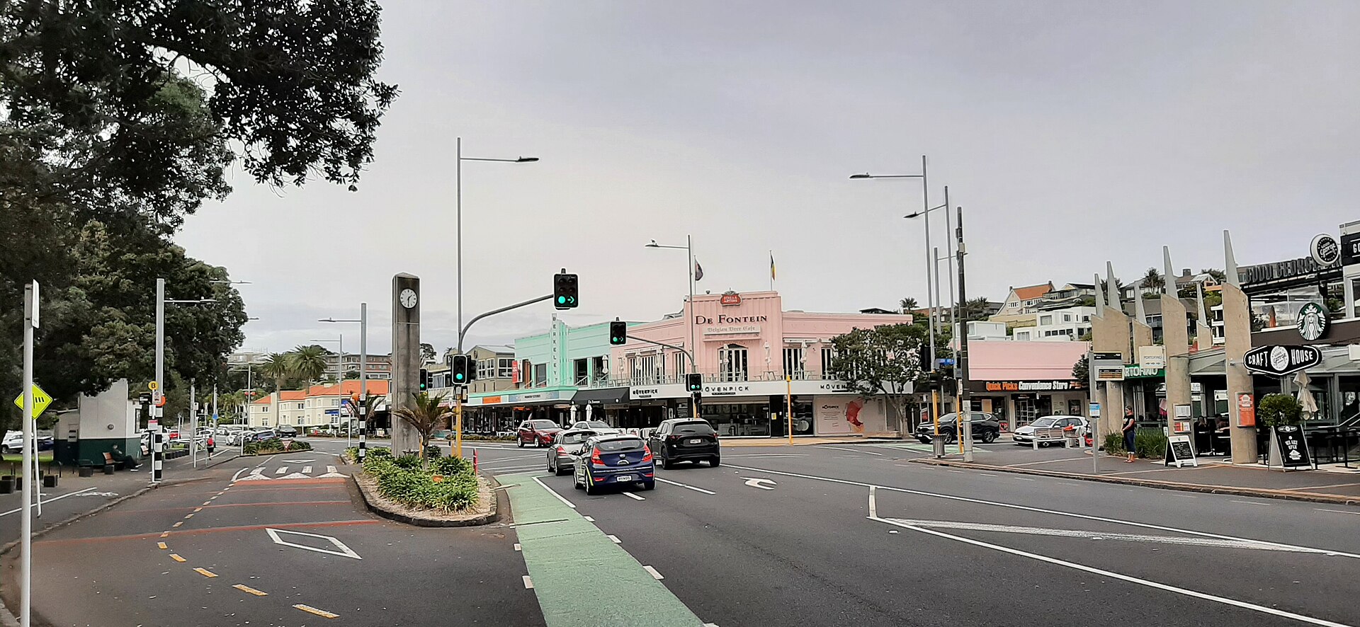
Mission Bay is Auckland's city beach — a curved sandy bay along Tamaki Drive just 4 kilometres east of the CBD that functions as the city's favourite summer-evening hangout, with thousands gathering on the grass verge and the sand between November and March.
Ponsonby
Ponsonby Road, Auckland
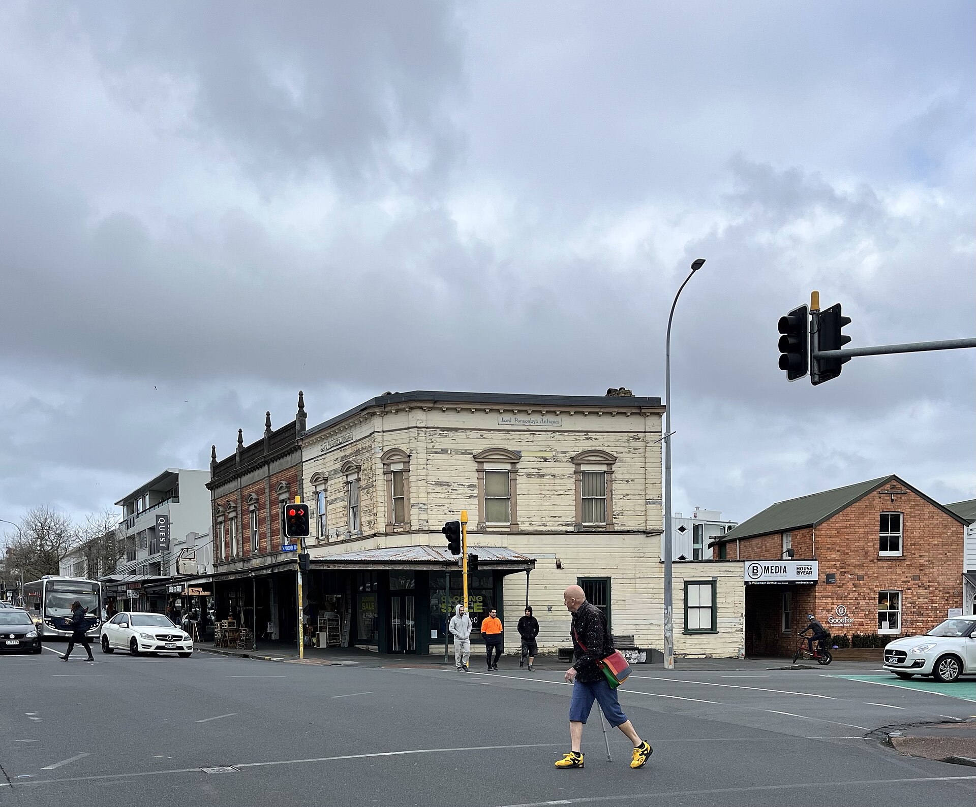
Ponsonby is Auckland's most fashionable suburb — a ridge-top neighbourhood of restored Victorian villas west of the CBD whose main street (Ponsonby Road) has transformed from a working-class Pasifika community in the 1970s to the city's densest concentration of good restaurants, design stores, and boutique retail.
Viaduct Harbour
Viaduct Harbour, Auckland CBD
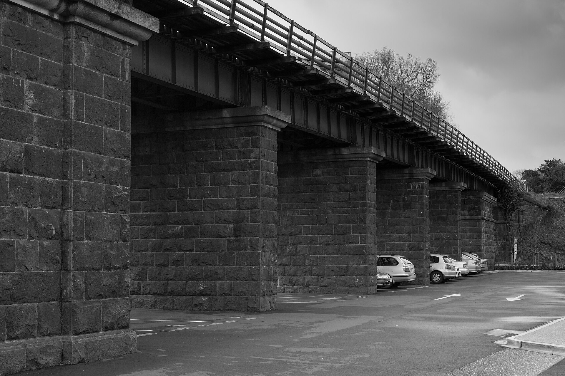
Viaduct Harbour is Auckland's waterfront precinct — a former fishing port transformed for the 2000 America's Cup defence into a ring of restaurants, bars, and superyacht berths around an inner harbour basin.
Wynyard Quarter
Jellicoe Street, Auckland CBD
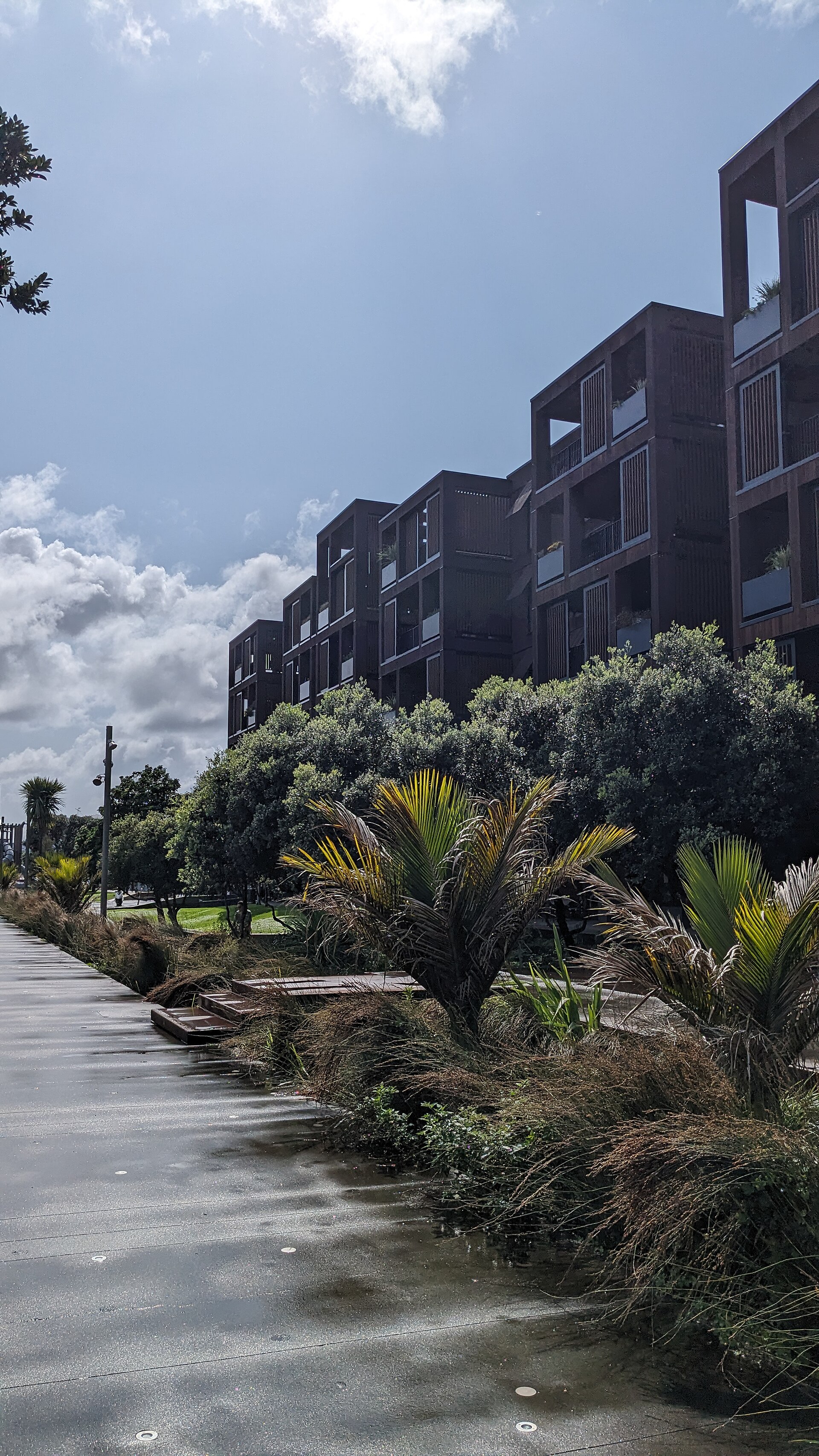
Wynyard Quarter is Auckland's newest waterfront precinct — a former industrial tank farm and port area immediately west of the Viaduct that was comprehensively redeveloped for the 2011 Rugby World Cup into a mixed-use quarter with restaurants, offices, public spaces, and the innovative Silo Park playground built in and around the old industrial cement silos.
Explore local life in Auckland
GPS-guided narration at every landmark. Tap a spot on the map, hear the story. Every fact verified.