Mount Eden (Maungawhau)
Mt Eden Road, Mount Eden
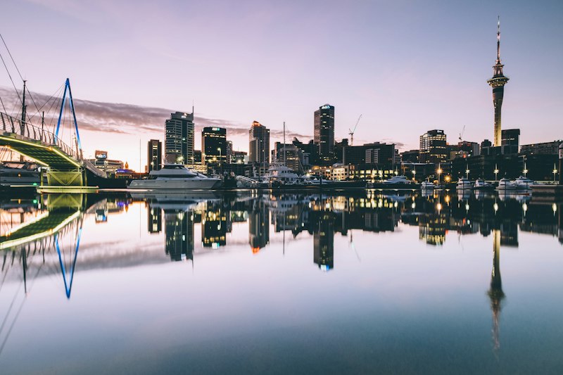
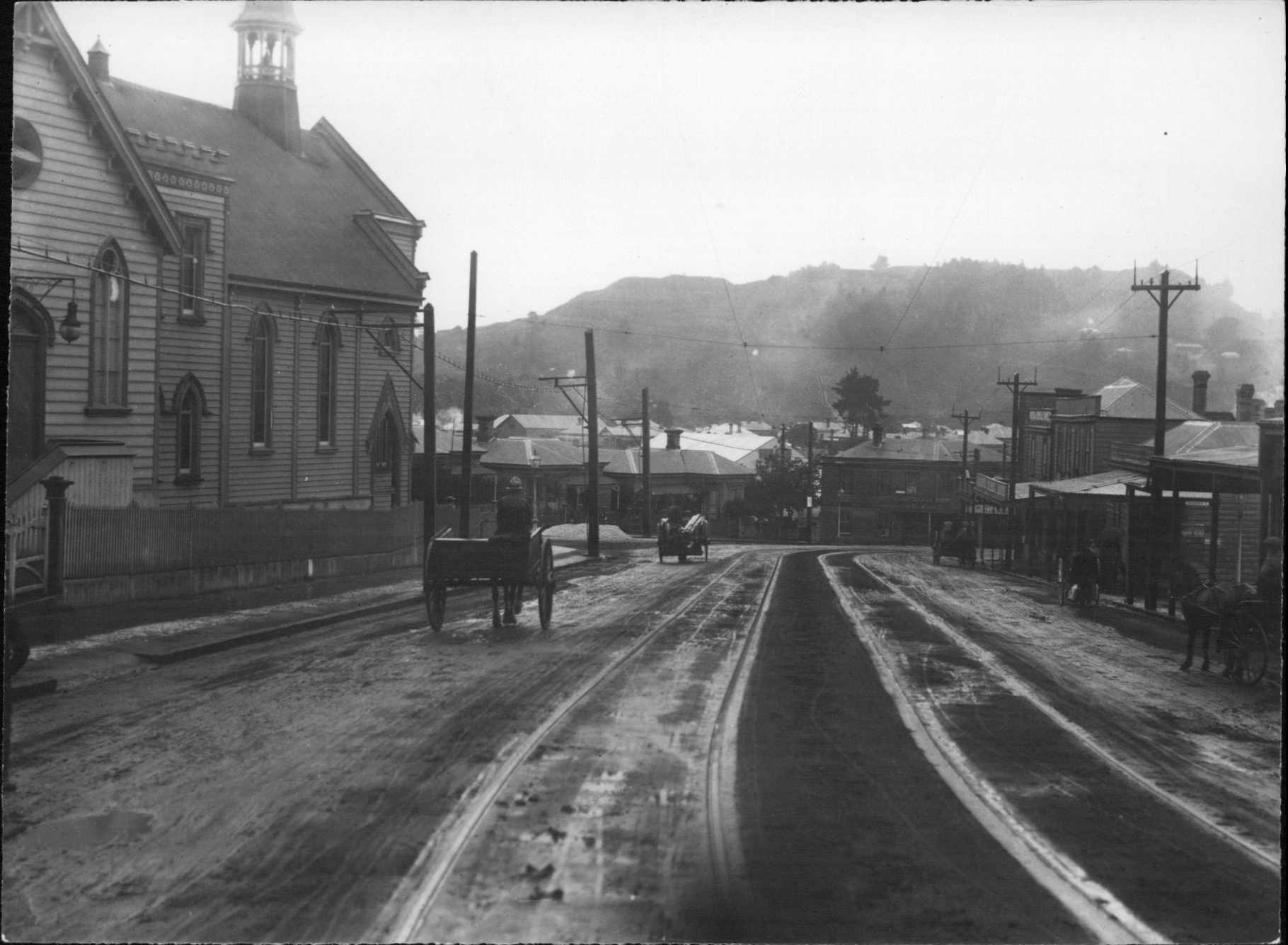
Maungawhau / Mount Eden is the highest natural point on the Auckland isthmus — a 196-metre volcanic cone that last erupted about 28,000 years ago and was one of the most important Māori pā (fortified settlements) in the country, with terraces, food storage pits, and defensive trenches carved into the cone that are still visible today.
Mount Victoria (Takarunga)
Kerr Street, Devonport
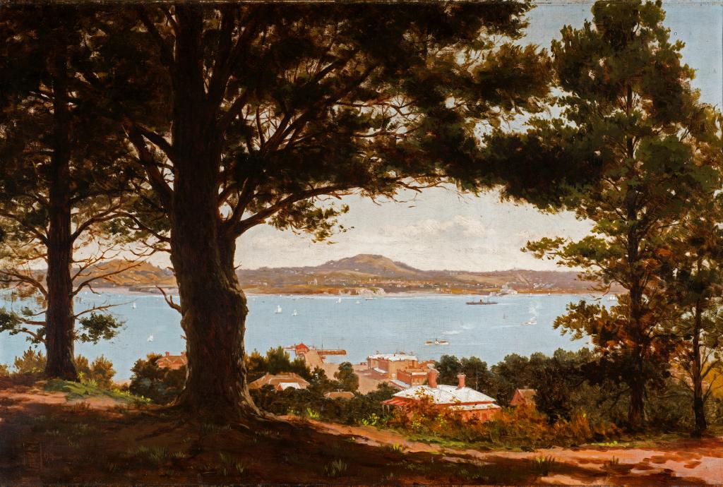
Mount Victoria (Takarunga) is a small volcanic cone behind Devonport village on the North Shore — only 87 metres tall but offering one of the best panoramic views of Auckland, with the downtown CBD, the Harbour Bridge, the Waitematā, and the outer islands all visible from the summit.

One Tree Hill (Maungakiekie)
Cornwall Park, Epsom
Maungakiekie / One Tree Hill is a 182-metre volcanic cone in the heart of Auckland — the largest pre-European pā (fortified Māori settlement) in the country, whose hillside terraces and food pits once supported thousands of people and whose summit was one of the most important ceremonial sites in the Auckland region.
Sky Tower
Victoria Street West, Auckland CBD
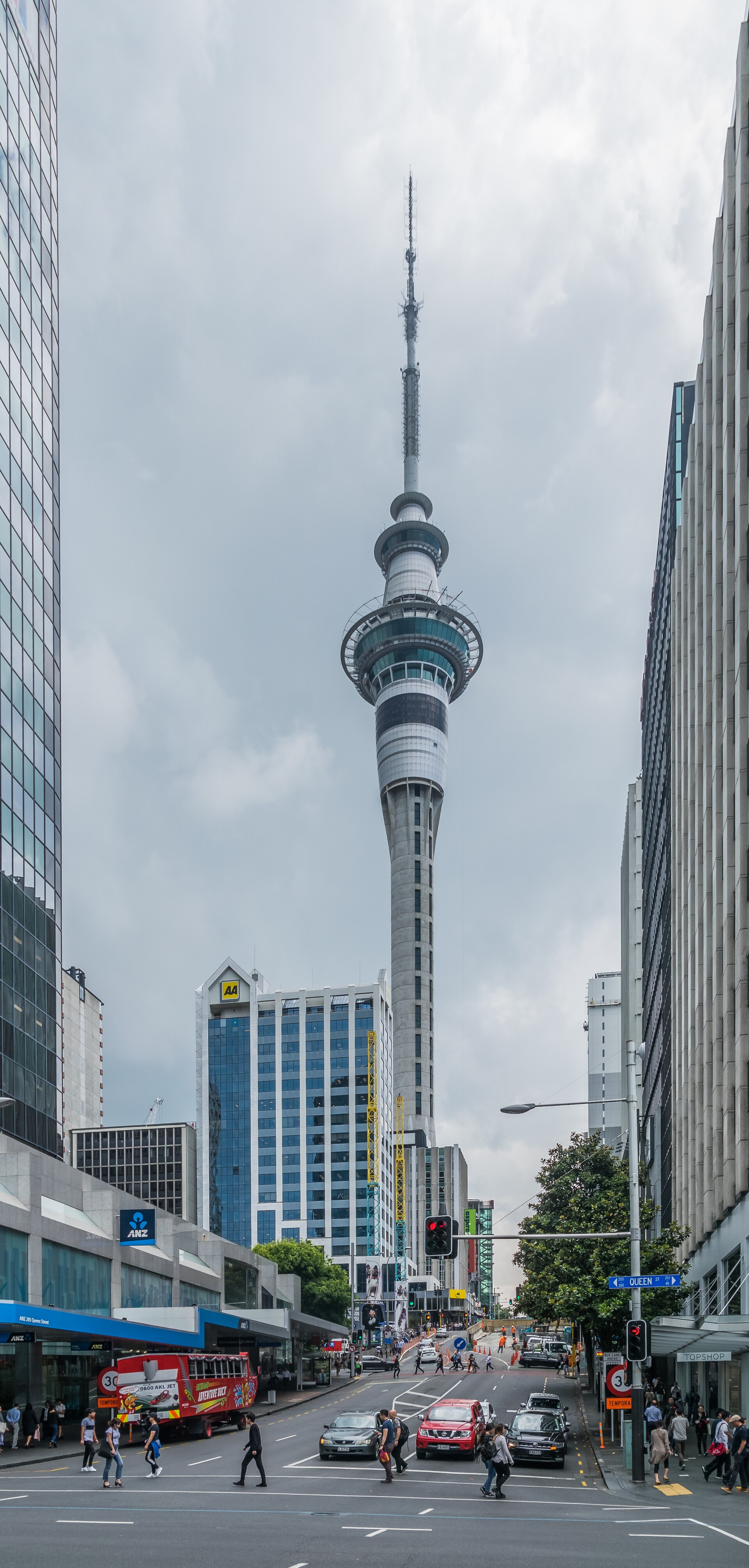
The Sky Tower is Auckland's defining landmark — at 328 metres it is the tallest free-standing structure in the Southern Hemisphere and has dominated the city skyline since 1997.
Explore viewpoint in Auckland
GPS-guided narration at every landmark. Tap a spot on the map, hear the story. Every fact verified.